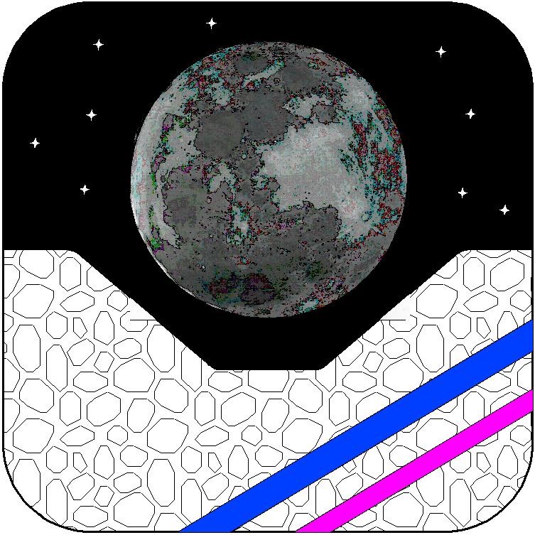
The Big Moon Dig
Picture Gallery
The Big Moon Dig - Return with us now to the Moon as we are preparing the ground for a real lunar settlement through study, simulations, team building, and exploration.
Picture Gallery
Here are some of the graphic for the Big Moon Dig that we have already developed. They were done in either AutoSketch 10 or Goggle SketchUp 2013.
Maps of Possible Settlement Locations:
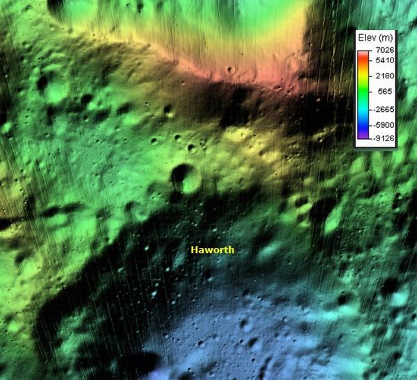
Malapert Massif elevations, from NASA data 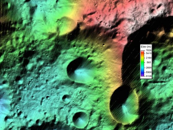
Scott Massif elevations, from NASA data 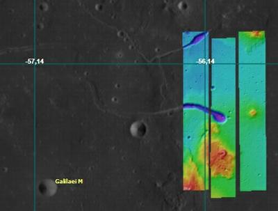
Marcus Hills volcanic area, from NASA data 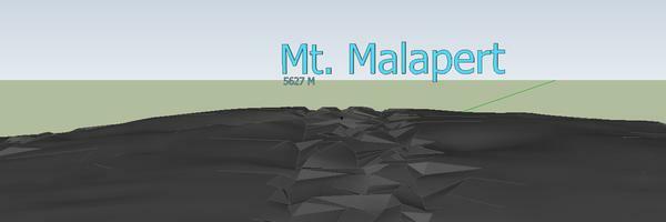
Lunar Surface from LRO Data Settlement Sketches with cross-sections:
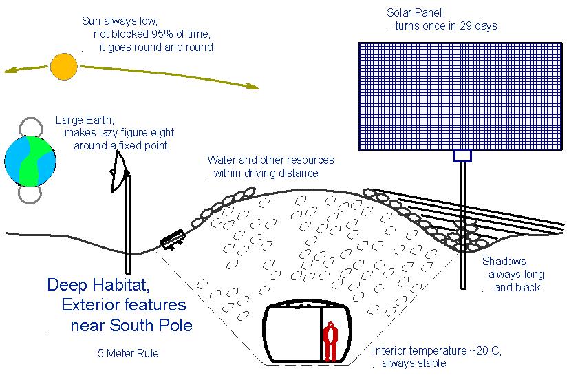
Settlement External and habitat cross-section 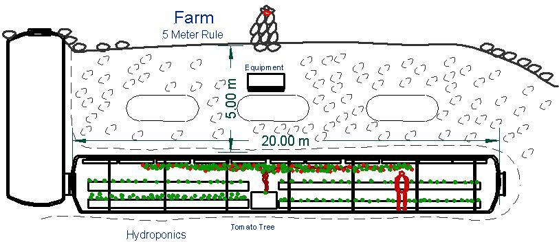
Cross-section of lunar settlement farm 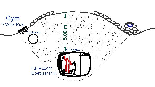
Cross-section of lunar settlement gym 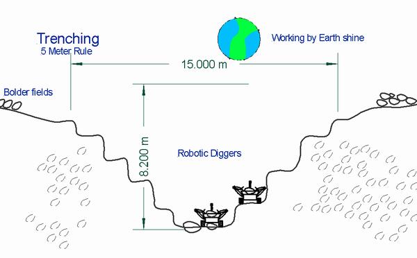
Cross-section of lunar trenching operation Rover Sketches:
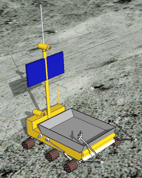
Digger Rover in SketchUp 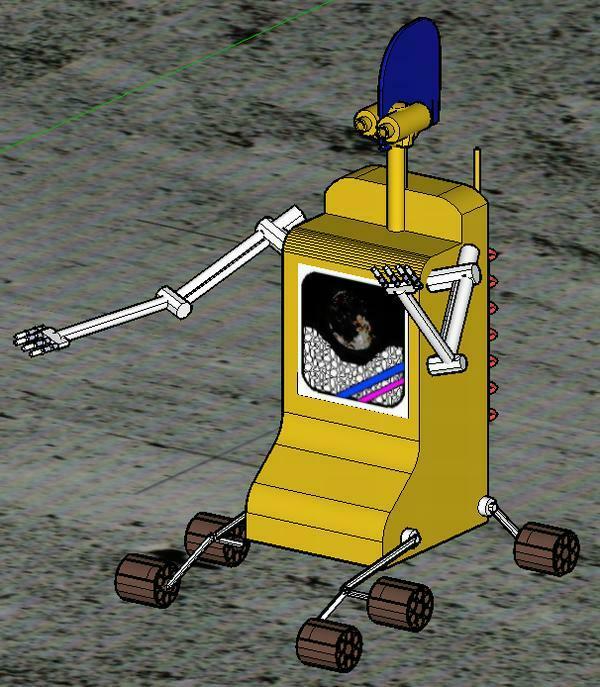
Digger 03 on the Virtal Moon 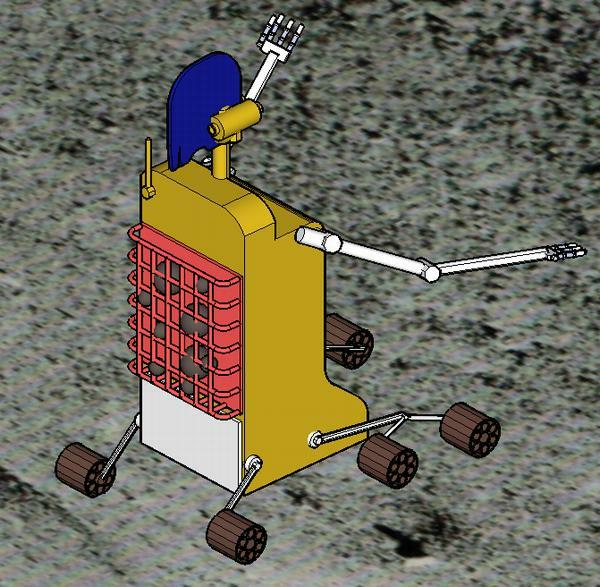
Digger 03 on the Virtal Moon back view 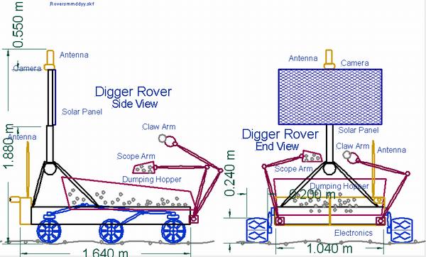
Digger Rover vehicle, front and side views in AutoSketch 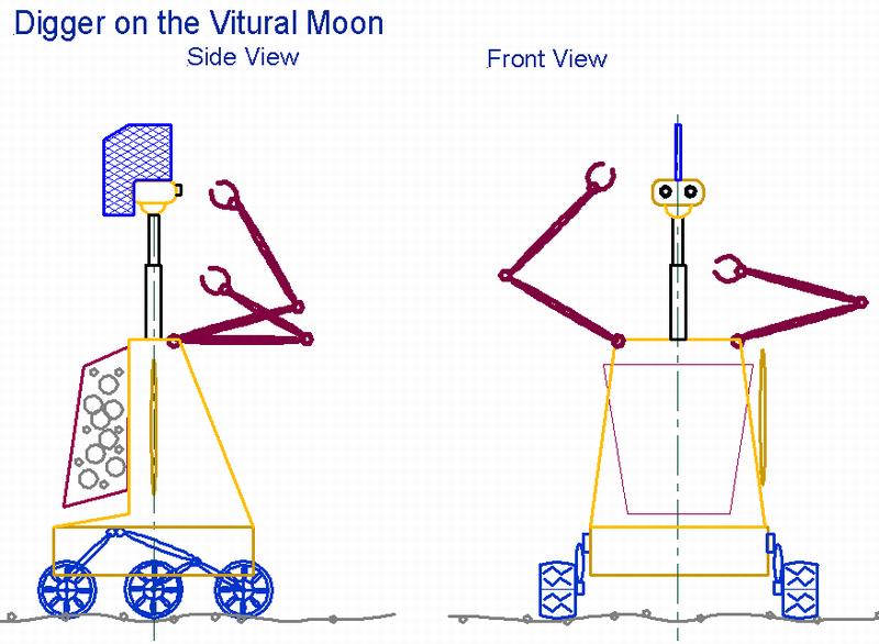
Digger Rover vehicle on the Virtual Moon, front and side views in AutoSketch 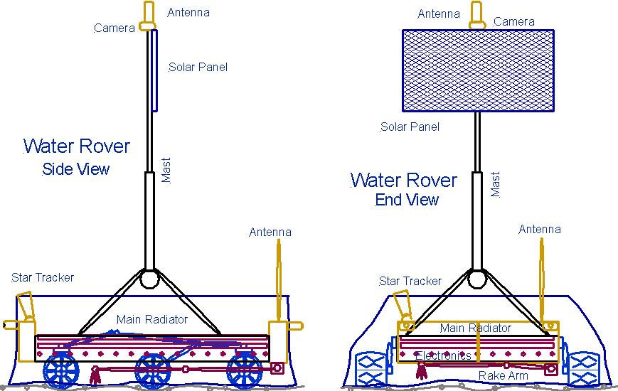
Water recovery vehicle, front and side views in AutoSketch Angle Calculations:
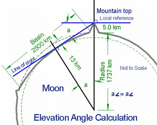
Elevation angle calculation 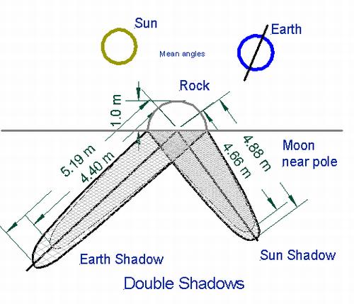
Double Shadows, Sun and Earth
Contact Us
If you would like to know more about our project or need a review copy of Vol. 01 or have any input, please contact us.

Thanks, Tom Riley
Validated for HTML5 with W3C.